
DRONE SERVICES IN MELBOURNE
Licensed drone operator for film, TV, events, property and construction across Melbourne. CASA ReOC Certified. Fully insured. We sort the airspace before the day, not on it.
AIRSPACE CLEARANCE, PERMITS, RESTRICTED ZONES. WE SORT ALL OF IT BEFORE WE SHOW UP.
So many productions hit the same problems. The location looks fine on paper, then someone finds out it's in controlled airspace two days before the shoot. Or the permit process takes longer than the whole timeline. We've been doing this long enough to know what needs to happen before the day. We handle the compliance side so you can focus on the production.
CASA certified. $20 million public liability. We integrate cleanly with any crew.
WHO WE WORK WITH
WHO IT’S FOR?

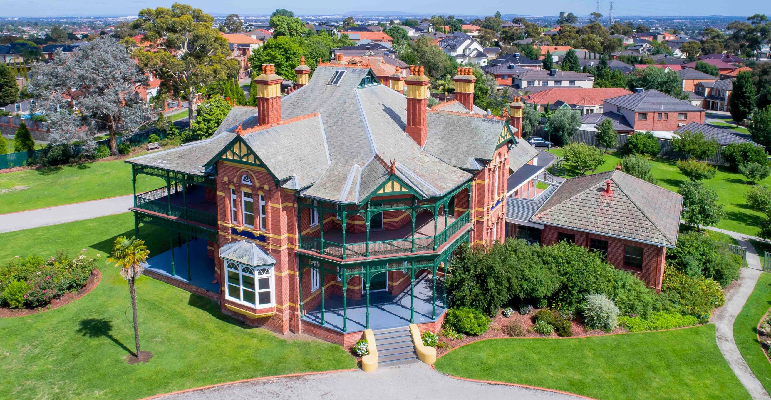
Property Developers
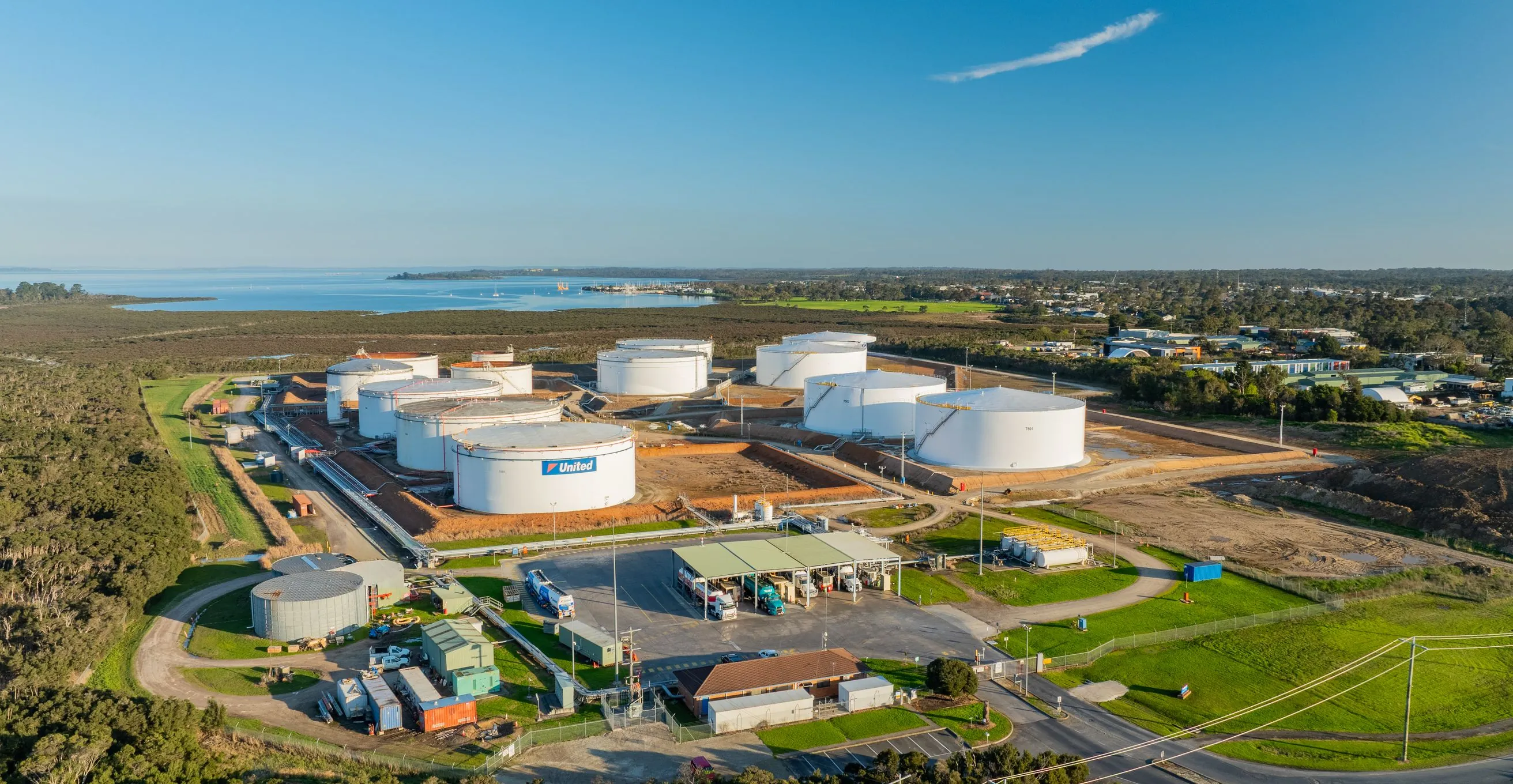
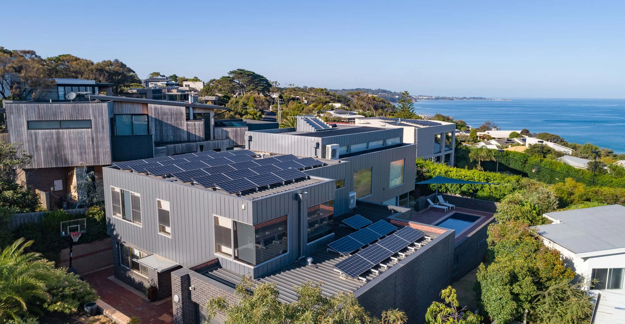
Aerial sales content and construction progress documentation. We’ve done everything from Footscray terrace redevelopments to large commercial sites.

Event Organisers
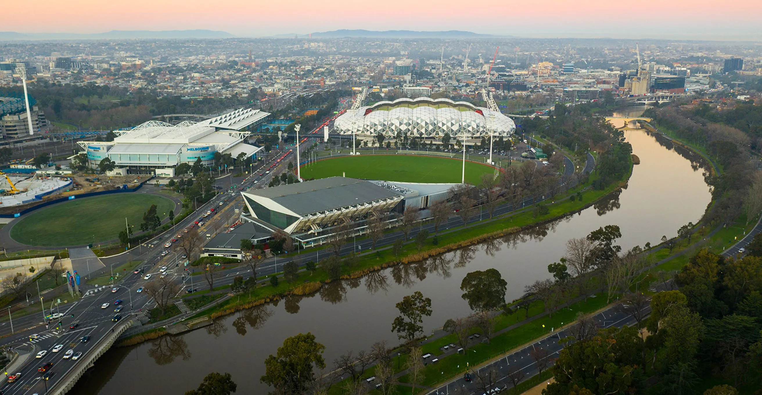
You want the wide shot that shows the scale of the whole thing. We’ve captured it for Red Bull and large public events across Melbourne.

Production Companies
We work as a team with your camera and sound departments. Same call sheet, same set etiquette, no drama.

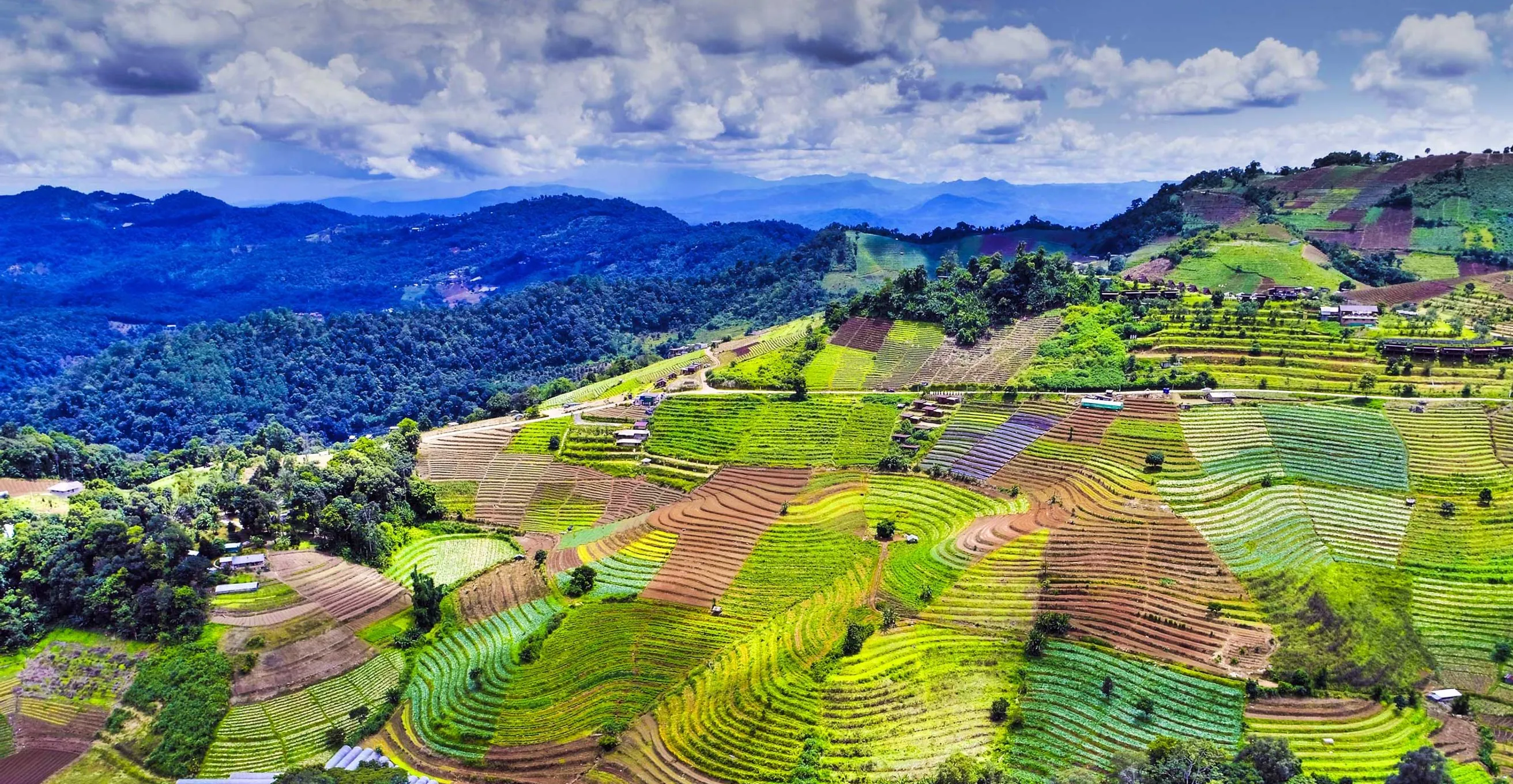
Tourism and Government
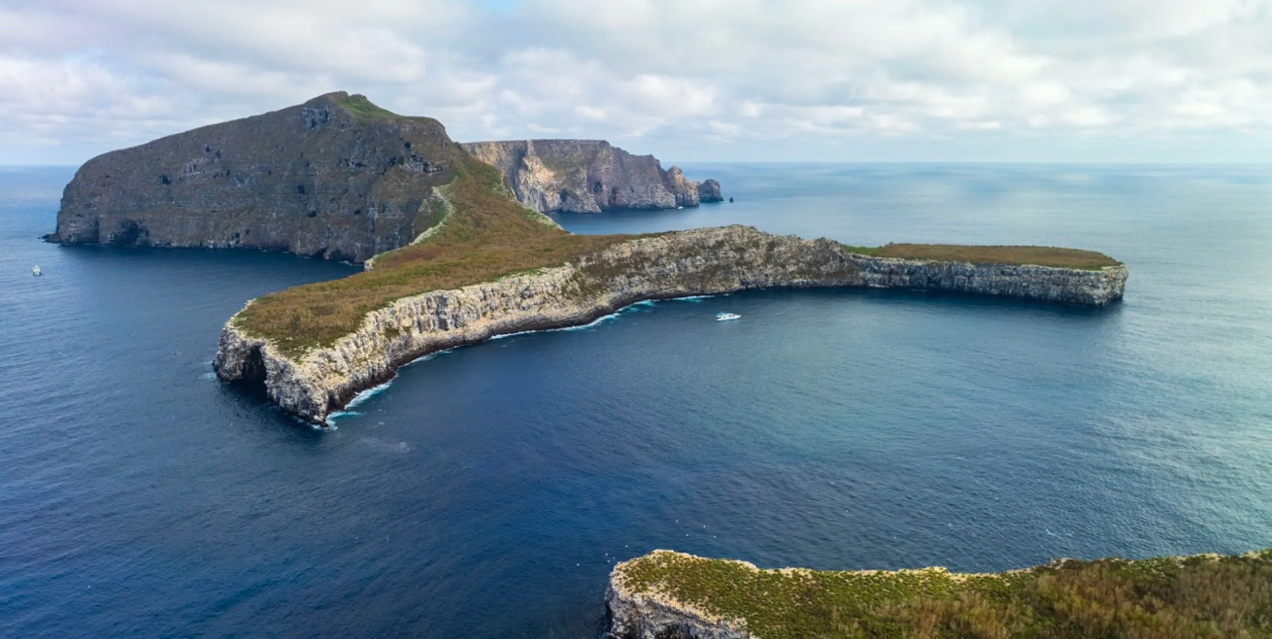
Show Australia and the world the way it deserves to be seen. We know the permits process for regional locations.

TV and Broadcast
Reality, documentary, sports, lifestyle, cooking shows. We know what broadcast delivery needs to look like.

Corporate Clients
Aerial content for campaigns, site documentation and brand work. We’ve done the shoots where you can’t afford a second run at it.
TECHNICAL DELIVERABLES

4K Aerial Video
Cinema quality footage in your preferred codec and format. Colour graded and ready to cut.

High Res Photography
Stills for print, digital and property marketing. Delivered at full resolution in your required format.

Construction Documentation
Consistent aerial progress shots across the build. Same angle, same altitude, comparable across every visit.

Timelapse Sequences
Day to night and long form progress timelapse. For marketing use, tenders or site documentation.

Orthomosaics
Precision aerial mapping for infrastructure, development and event site maps.

360 Panoramas
Interactive and static panoramic imagery for tourism and presentations.
WHY CHOOSE US


TELL US ABOUT YOUR SHOOT AND WE’LL SORT THE REST.
Send through your brief. We’ll confirm availability and get back to you with a quote.